
Today we started the Continental Divide Trail. Our group of hikers met at 6am for a continental breakfast – pretty lame (they did have a waffle maker) but appropriate I guess. We split our group of eight into two trucks, driven buy CDTC volunteers John and Leslie and headed to the border with Mexico.
After a hour and a half on pavement and a stop in Hachita C-store we hit dirt road. Almost three hours of lousy rutted 4×4 road later, we could see an enormous Mexican agricultural farm across from the border. We drove along the US/Mex border – a deteriorating barbed wire fence you could step right through, and a few hundred yards later we were at our destination at Crazy Cook monument:

We started at 10:45am from the monument and after a mile or two of single track we passed a good water source. Then the trail was all road through the first chain of the Hachita mountains, and eventually dropped to a wash. It got pretty hot by 1pm, topping out at 85 with full sun and an occasional breeze. The trail was marked well with steel posts and 8”x8” CDT signs. We hiked until 5pm, to the first water cache at 15 miles and stopped to camp for the night. Twisted, Jay, Country Mouse and Shadow camped. We never saw Larry Boy or Running Mouse as they went further, and we never saw Gordon again since departing from the monument.
Waking up at 5am on day two, everybody hit the trail by 6.

The trail was a 6 hour exercise of locating wooden posts.

Eventually there were enormous rock cairns which were easier to locate, then the steel posts again before reaching the next water cache.
It’s hotter today (88), and as soon as we reached the water the weather front we’ve been expected started rolling in. No precip, but the next two days call for high winds (gusts of 20-35 mph).

After reaching the cache, Twisted and I took a long break allowing Jay and eventually Country Mouse and Shadow, to catch up. After an hour I left the group and headed onward.

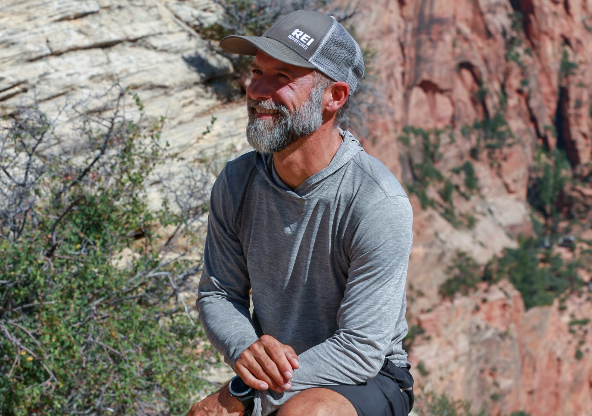
9 more miles and a bit of up and down climbing through the hot part of the day, and I took another hour break in the shade. Jay caught up to me. I felt good and we pushed into mile 36 – about 22 in all for the day and camped in a dry wash. Twisted showed up about an hour later. It was Jay’s first-ever twenty miler day. We named him Twenty-2 (spelling will be up to him). He liked that name and we think it will stick. My trail name has been officially shortened from Steelcranium to Steel. Shadow gets credit, “Hell yeah man. One syllable – solid, man.” I’ll also credit to Mr Overhill who, on the AZT, shortened it up to that as well.
On day three we were on the trail at 6am. I’m happy that Twisted and I are on the same page in many ways. It’s a strategy I employed on the AZT as well: get up and hike 10 miles before 10 am and beat the heat! This allowed us to take more shade breaks and it turns out that wind I was talking about…it started coming at us by about 10.
Before that, however, we opted to take a cross country route off the official CDT and check out Old Hachita, an old Turquoise mining town established in 1870! The structures were amazing and numerous. They had used some native american techniques building rock walls and using mortar made with local mud, sticks and clay.


We rejoined the CDT and went past some mars-like landscapes. Border patrol flew overhead and we saw some fighter jets as well – likely from Monthan AFB in Albuquerque. We reached another official CDT water cache and met Scree, and older fellow from Austin, TX planning on hiking all of New Mexico. Twenty-2 caught up with us there. The wind was picking up over 30mph at this point – typical weather for the Bootheel. We hiked on and passed a dry water area with a starkly contrasting flower stand, and then took a three hour respite from the wind at a giant fiberglass water tank. It was coming at us full force- at least 30-40mph with gusts up to 55. We curled up and napped as long as possible.
Moving on at 3pm and going was slow. The wind was extremely draining both physically and mentally. We descended just below some beautiful cliffs and crossed dry washes, a few mountain saddles and dropped down into long stretch where we had a view across a 30 mile flat getting hammered by wind and blowing sand. One burst of wind brought a rain of sand in our direction for 5-10 minutes, but luckily it was the only one.

At this point the landscape was barren with nowhere to hide. We looked for hours to camp, considering every possible wash, dip , and land feature. Problem was, nothing at all would stop this wind. At 7pm we reached a water cache box. We considered sleeping near the highway where they cut the road through some rock, but that didn’t help. I walked up the highway one mile looking for something, anything that would block wind. Eventually we decided to use the bear box itself and created a wind block. Twisted, Twenty 2 and I huddled in for a horrible night of sleep.

We rose early but lingered in our bags for a bit before hitting the trail again and again the wind was howling. All. Day…
Great post!! Kicking ass already!
Thanks Monique!
I approve of the shortened trail name. And love the shot with the pretty yellow flowers. Off to a good start. Woot hoot.
🙂
I recognized the water cache wind block picture & realized Twisted is Peeweegerman who I follow on Instagram! Awesome.
Yes! Peeweegerman is Twisted in his American thru-hiker body 🙂 Thanks for following us!