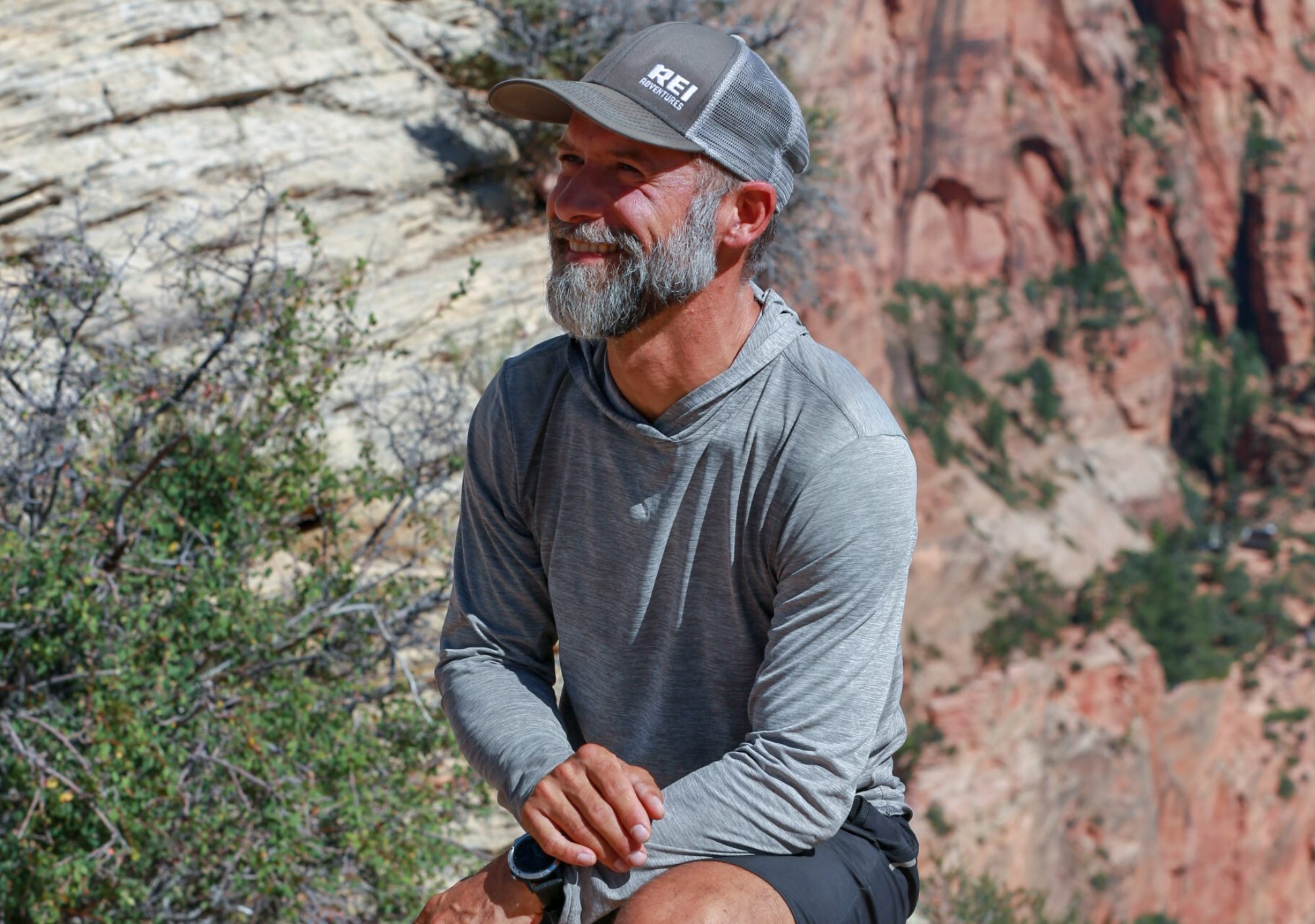

After landing in Denver, sleeping in the airport, and then an hour and a half delay of my afternoon flight I finally made it to Alamosa where Peru was waiting for me after doing her weekly errands. We drove back to South Fork and after a stop at the Rainbow grocery I saw Radar (Peru’s partner), for the first time since leaving Lordsburg, NM back in mid April! She drove me to Wolf Creek Pass and dropped me off about 7:30pm. Twisted got dropped off about a half hour later after hitching up from Pagosa Springs. We decided to walk 10 minutes into a meadow and just camp for the night which allowed me to at least re-acclimate again since I spent a week at 1200 feet and now was back at 11,000.
In the morning we woke, crosses hwy 550 and headed onto the CDT. With views of Alberta Peak and the ski area my mind was reminiscing of great ski days in the 90’s, and after some climbing we entered the Weminuche wilderness, a moment I’d been anticipating for months, and something I’d been talking about with everyone since the beginning of the CDT. For me this was a feeling of homecoming. Spending 13 years and all of my 20’s in Durango, CO the San Juan mountains and the Weminuche wilderness we’re areas I’d explored, hiked, climbed and learned a lot of lessons. Little did I realize at that moment while standing next to that wilderness sign, now decades later, that I was about to learn some more.
We climbed through more dead forest damaged from beetle kill and passed Archuletta lake before ascending the west shoulder of Mount Hope at about 12,500 feet that afternoon. We climbed a broad and steep ridge and passed the rugged Sawtooth mountain and the Highline Trail spur before following a long ridge then climbing up around a massive rock walled valley above Beaver Creek for the next two miles.


The entire time a big , nameless peak loomed to the west and we started climbing the long lower shoulder which lured us into the shadowy and steep traverse. From a distance it looked like we would be crossing high and treacherous snow. I was concerned and charged upwards to examine more closely. When the sun dropped and I entered the dark reaches I was relieved to see the trail instead zig zagged up away from the snow. At the first of five switchbacks I stopped to wait for Twisted as he was about 15 minutes behind and watched him climb up the shoulder I’d just come from.
Though vaguely, I remembered this climb from hiking this section more than 20 years ago and when Twisted reached me we proceeded up an extremely narrow, wet and steep footpath. No trail maintenance here. No horse or even the most seasoned rider would ever attempt this. It would be one of many high-wire and skinny trails we’d experience in the Weminuche. At the third switchback we encountered ice and instead scaled the stone and mud as carefully as possible to reach the fourth switchback. This was even thinner tread and led to one more over crumbling rock and sloping trail. Twisted was in front and with full concentration reached the top of a magnificent ridge at over 12,800 feet and we towered above looking down at the West Fork of the San Juan River.

After walking a few hundred feet along the thin ridge the trail thankfully descended slowly across a west face and after a few more miles we reached Piedra Pass and made our night’s camp on a primitive and abandoned dirt road at about 11,400 feet. This first day back found us doing 21.5 miles.
In the morning we hiked below Piedra peak then along another ridge near 12,000 feet and east of Palomono Mountain. In our minds we knew that The Knife Edge, about 15 miles away from us to start the day, was the gateway to our continued journey through the San Juan’s and Weminuche Wilderness.
Before that came a majestic morning, and after passing Palomino we traversed below a long north facing ridge overlooking East Trout Creek, passing over more snow fields and then making our way up to and staying on a 12,000 foot ridge line for nearly six beautiful miles. The trail climbed right on top and we felt on top of the world, wind blasting us as we rounded northwest then north across the rocky talus edge, Middle Trout Creek basin below us.
Along the way we ran into and met Lately, a hiker in his 20’s from Edwards, CO. We would see him a few times here and there and when we wound up in a small basin at Cherokee lake about a mile before The Knife Edge we saw him filtering water and all chatted as we took a short break. Lately joined us as we climbed from the lake up a steep incline then around another basin as we saw the back of The Knife Edge approaching. We climbed a steep switchback and through a small keyhole and then we saw it. I think I could have thought to myself, “ I really don’t like what I see,” but said to everyone that we ought to all put our crampons in now. What I saw scared the hell out of me: a dozen snowfields crossings on a slope of at least 55-60 degrees of not a bit steeper.

After I converted to micro spikes and ice axe I quickly decided to dive right in, so to speak. The first foot placements were ok, parallel to the direction of the mountain. I sunk my axe in to the head and made another step. Each step that already existed in the snow from previous hikers made me nervous. I took my good, sweet, nervous time and reached the center of the 30 foot traverse when the risk that I was taking started to play out in my head. I refused to look at anything but the snow in front of me but that didn’t change the fact that if I were to slip I was going to fall to my death, and I was well aware of this. One failed foot placement or worse, something I couldn’t control, like the snow giving way to the beating sun and warm air, and there would be no way to self arrest a fall in time. In either of these two scenarios I would tumble off the cliff and with certainty, fall and die.
I turned to face the snow and began to softly kick steps a bit deeper into the snow as if I were Ice climbing. Lately, unwisely maneuvering behind me just a few steps, was being patient as I slowly talked through each axe placement, match of my feet, and reshaping each step. I neared the last five feet when my foot suddenly broke through the snow and I dropped two and a half feet, my right foot hitting rock below the broken snow and my ice axe now above my head, my fingers frozen from pressure against the snow and griping the axe for all I was worth. I quickly stepped on my left foot to raise my body up, took a long, reaching, and risky step far to my right to reach an existing step, then matched and lifted my axe out of the snow. Two more steps and I reached the end of the snow and found solid land. After another step I was completely on trail again.
Lately followed behind and during all this Twisted did he was instead going to try the lower route as he saw a sign suggesting their was one. I hollered back, “OK.”
After only a 50 foot stretch of trail we reached the next snow field, same steep angle and some lousy conditions. I looked at Lately and said, “How about you lead this one?” He said ok and passing by me and took his first then second step onto the snow. With both feet on snow he took his third step and with it, broke through the snow just as I had done, his axe now over his head. He backed off the snow and clinging to rock, climbed back onto the trail he’d just stepped off of moments ago. We both decided to stop crossing the snow fields and instead down climb the rock below which was equally as dangerous and carried the same consequence: slip, and a fall would kill us. It was our only way out.
Lately went first and on his hands and butt, wiggled his way through the crux, an eight to ten foot chute of steep rock and dirt. Once through he used his trekking poles to carefully pick his way down another 100 meters of very steep, loose terrain until the grade of the slope finally gave way a bit allowing him some relief from the stress. After he was clear I followed, taking twice the time to defend the chute, being exceptionally cautious, and twice as nervous as the younger hiker who’d I just watched descend this treacherous pile of rock and dirt.
As I worked my way down the chute I saw Twisted about 100 meters down and right, sitting on top of the lower route he had chosen to try instead of the insanity Lately and I had chosen. “I’m going to Creede!” he shouted at me. “I can’t cross this. There’s an ice chute.” I saw what was in front of him, the lower option with its own barrier, a short, 10 meter chute of snow that vaulted steeply over a clif. Slip on the crossing and there was nothing but air before hitting rock below. “Twisted, I can’t turn around,” I shouted back. “I know!” he replied. “I’m sorry,” were my last words to Twisted, and he shouted back, “It’s ok.”
With that I descended to the valley below and Twisted turned around and eventually hiked 22 miles back to the Creede cutoff which bypassed the entire San Juan mountains and Weminuche wilderness which I was about to hike alone for the next four days to Lake City. The lesson learned was that, for the last month and a half, I’d made decisions with a hiking partner. My decision to dive into tackling the extreme snow on The Knife Edge was based solely on my own desire to retrace my steps through the Weminuche wilderness from over twenty years ago disregarding the safety or risk tolerance off my hiking partner. As a result, I lost that hiking partner and would carry on solo.
The rest of that day however, Lately and I cross country hiked over to Trout Lake, and sitting above Williams Lake, decided to hike up the next mountain and down a ridge where we encountered a massive snow wall at high angle. Examining the situation, we chose to hike straight up a dry spot on this rock face about 800 feet and onto the mountain ridge to get around. Having used all my energy reserves and full of adrenaline from the The Knife Edge, I struggled to make this ridge climb and once at the top was completely exhausted. We spent the next 45 minutes picking our way down to a small saddle above Williams lake and after short debate on whether to keep hiking, decided to stop and camp.
In the morning I chatted with Lately who said he needed about 15 minutes before hiking. I took off towards the next mountain pass which looked like it might be holding difficult snow to cross but turned out to be manageable. I passed Chief Mountai, over Squaw Pass and through Little Squaw Creek then wound through a series of beautiful alpine lakes before climbing up to 12,200 feet, when I saw the fire.

I was headed right for this wild fire but since I was pretty familiar with the general area I figured it was south of Silverton and likely caused by the Durango Silverton Narrow Gauge Railroad. A bit nervous, I hiked on but the fire was looming in my mind. I hiked on over a 6 mile section of high alpine tundra past several pothole lakes before descending down Snowslide Canyon down to a massive meadow where the Lis Pinos River flows south and the Weminuche river flows north to Rio Grande Reservoir. I would find out later that Shadow, Mouse, Bear and Tuff Broad would hike down to the reservoir and cut off about 40 miles before getting to Silverton.
I hiked on and up Rincon La Vaca towards Rio Grand Pyramid, a mountain I would continue to see for days on end.

I climbed on and on as the sun started to go down behind the Pyramid and the Window, a 300 foot notch in the side of the mountain. I made it over the shoulder and down to Ute creek then hiked until dark and camped below Ute mountain after a 28 mile day.


On day four I woke to some rain with big, ominous clouds everywhere. I would chase the rain and snow all day, tempting my fate through the unpredictable San Juan weather.
I climbed past Twin Lakes, Ute Lake then West Ute Lake and up a soggy cliff side south of Mt. Nebo.

From Mt Nebo I climbed Hunchback Pass and passed an ultra runner at the op before I dropped to Beartown site. I crossed a big creek and started a climb towards a broad open section of about four miles that presented a big challenge to me 23 years ago when hiking the Colorado Trail. Gaining the top near 13,000 feet I looked to the west Needles Range and saw black sky’s and clouds filled with snow charging forward. I though about turning around and retreating to shelter as on top there is no where to go… four miles of open alpine shoulder, exposed with no trees, rocks, nothing. Like 23 years ago I went for it and the weather came in fast. Winds increased to 60-70 mph gusts and I hiked as fast as I ever have, literally running in some spots. Hail started blowing horizontally, forcing me to balance and rebalance with each step. The entire left side of my pack – facing the Needles range and where this hell-storm was blasting in from – was quickly covered in a shell of frozen hail. Pellets cracked against my rain hood, hands, and legs and I prayed no lightening would join in with the storm. It would be the second time in three days I was thinking how easily I could die, as the situation I found myself in was classic conditions for a freak lightening strike. I hauled my sorry ass up and over mile after mile. I was probably doing 15 minute/mike pace and finally, thankfully I began to drop toward Highland Mark Lakes. After another mile I made it to The Cunningham Gulch trailhead and decided to drop down 1200 feet and while I did the storm subsided. 45 minutes later at the bottom of the gulch it was sunny and calm.
In the morning I climbed 1200 feet back up to the CDT and headed towards Stony Pass. I made good time and it was a beautiful day. I went down the pass and onto the trail again taking the new route south around Canby Mountain and hammered my way over 13,000 feet towards Cuba Gulch. A few more miles took me along the shared CT/CDT route and Cataract Lake.

I took photos as I gained elevation and enjoyed a beautiful day. At 6pm I climbed to the highest point on the CT, at 13,271 feet and kept on going another 8 miles. The next day I hiked over Jarisa mesa over an ancient volcanic lava field. By bypassing Silverton my goal was to make it to Lake City and I hiked until 9:30pm after a 31 mile day in the San Juans to set myself up for an 8 mile day into Lake City. That made it a six day trip to Lake City and I made it to Spring Creek Pass by 10 am. I saw Bear Sweatz and Tuff Broad get dropped off, chatted then hitched to Lake City and stayed at the Ravens Rest Hostel.

Oh My! Don’t Die!!! I am so nervous! Do you think you will meet up with Twisted again? Do you think it will be like this more in the trail? So many questions!
Big hugs, stay stay, no ego.
xxoo
m